Simple. Intuitive. Effective.
The Search Commercial app provides a user-friendly solution to access all required site filters and property databases commonly used by each property asset class.
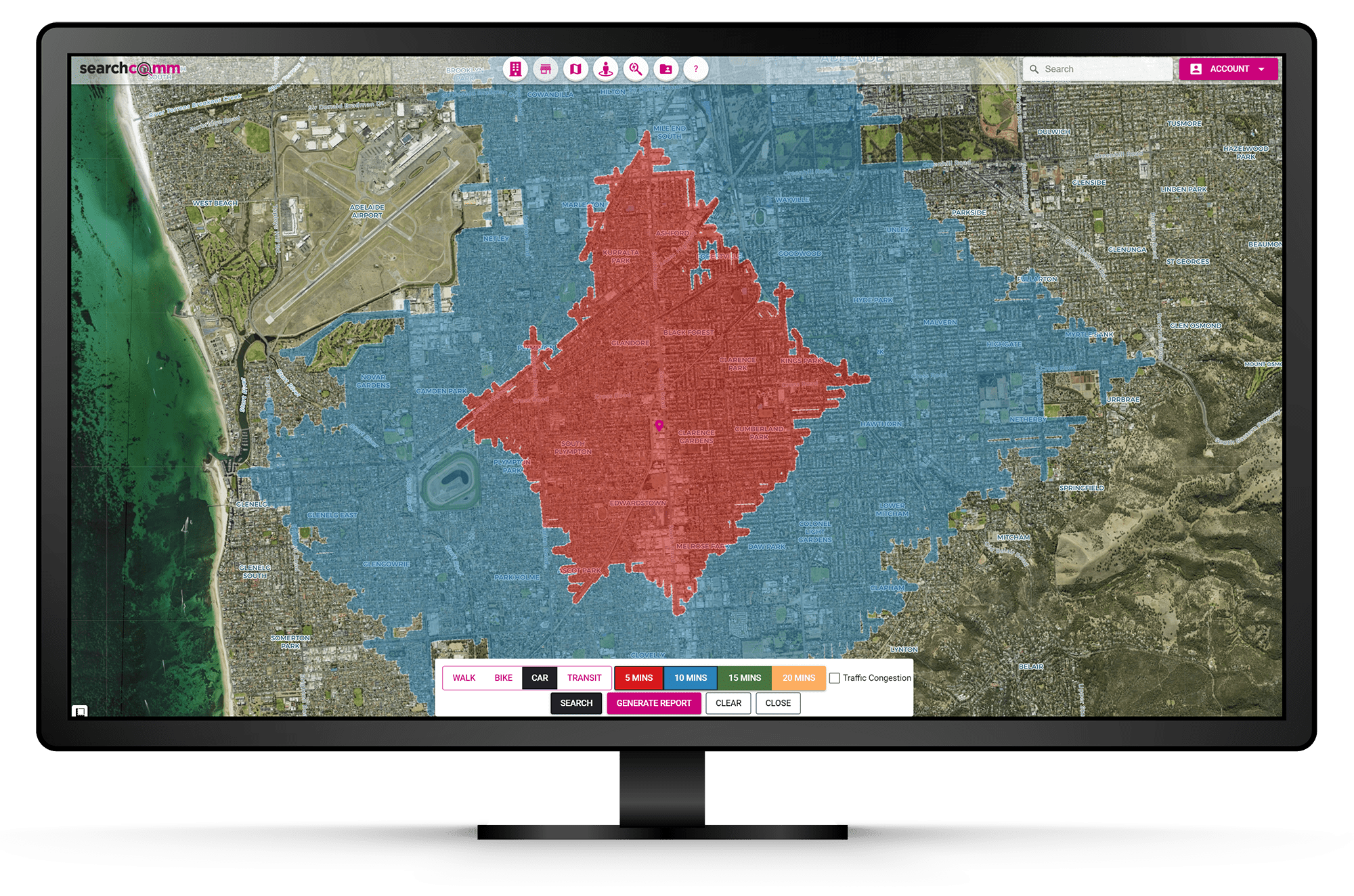
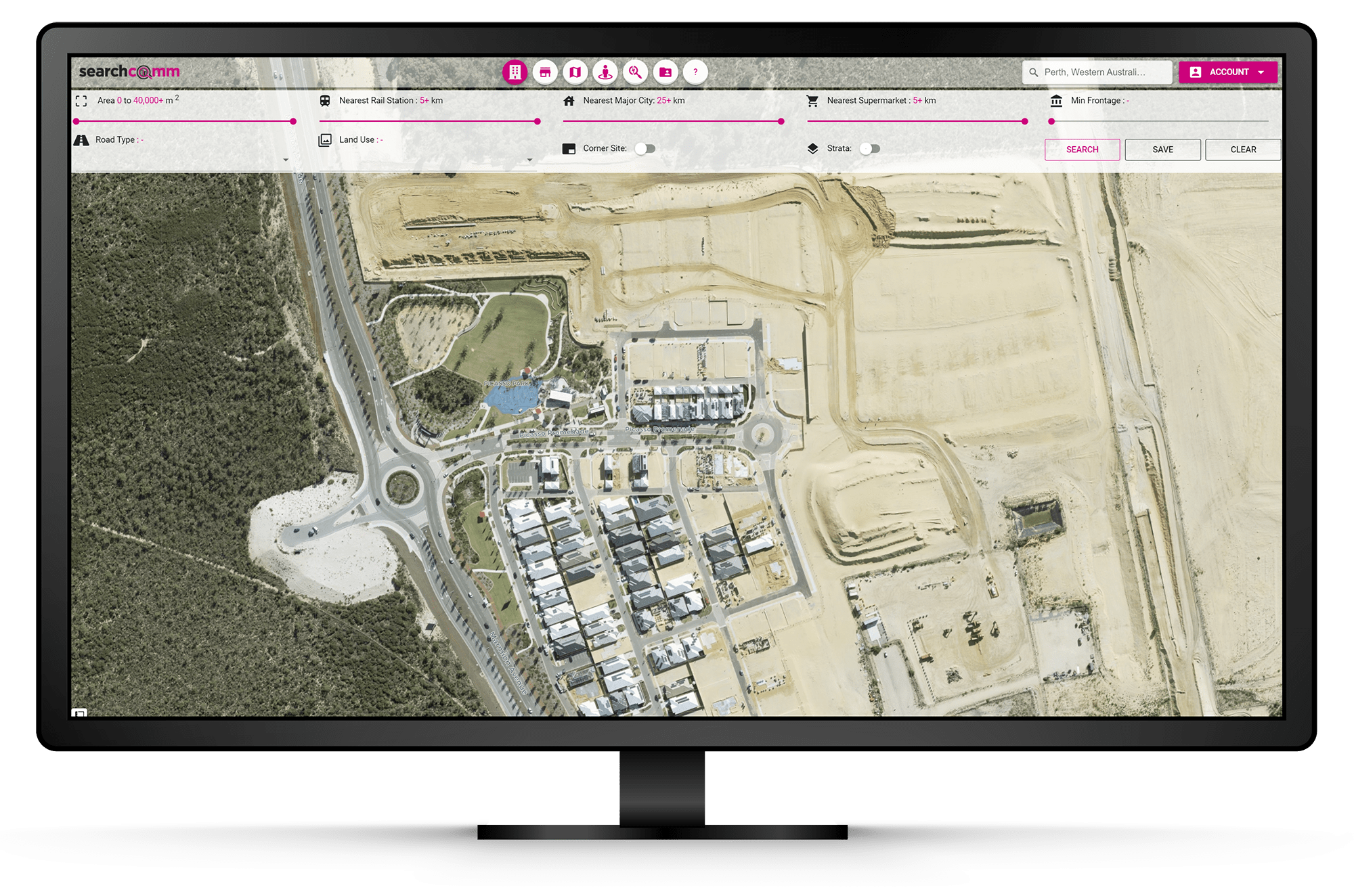
Property Filters
Filter by unique attributes including proximity, frontage, road type and many more.
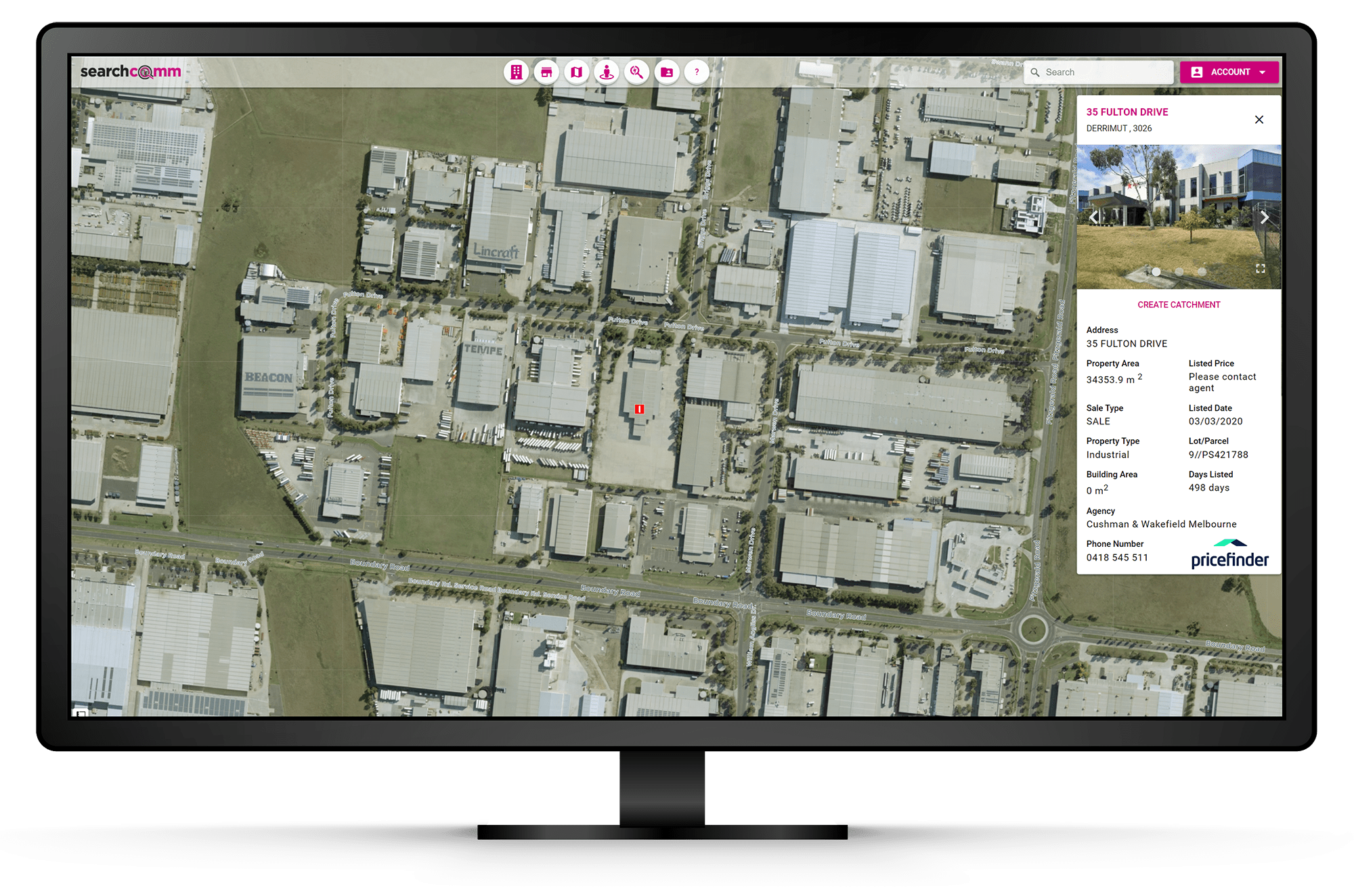
On Market
Search all property types available to buy or lease. Real estate listings powered by Domain Group and Pricefinder.
Aerial Imagery
Affordable High Resolution Aerial Imagery. Frequent updates, historical imagery and no data limits.
Base Maps
We offer a range of preloaded base maps. Choose between Streets, Grayscale and Traffic.
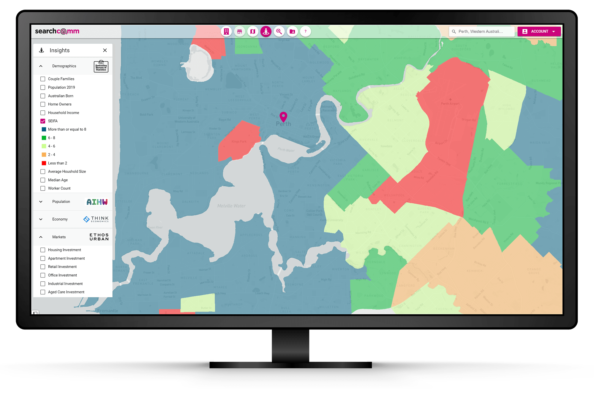
Insights
Access insights from the government and top rated industry specialists. Hot spot analysis of Demographics, Population Growth, The Economy and Property Markets.
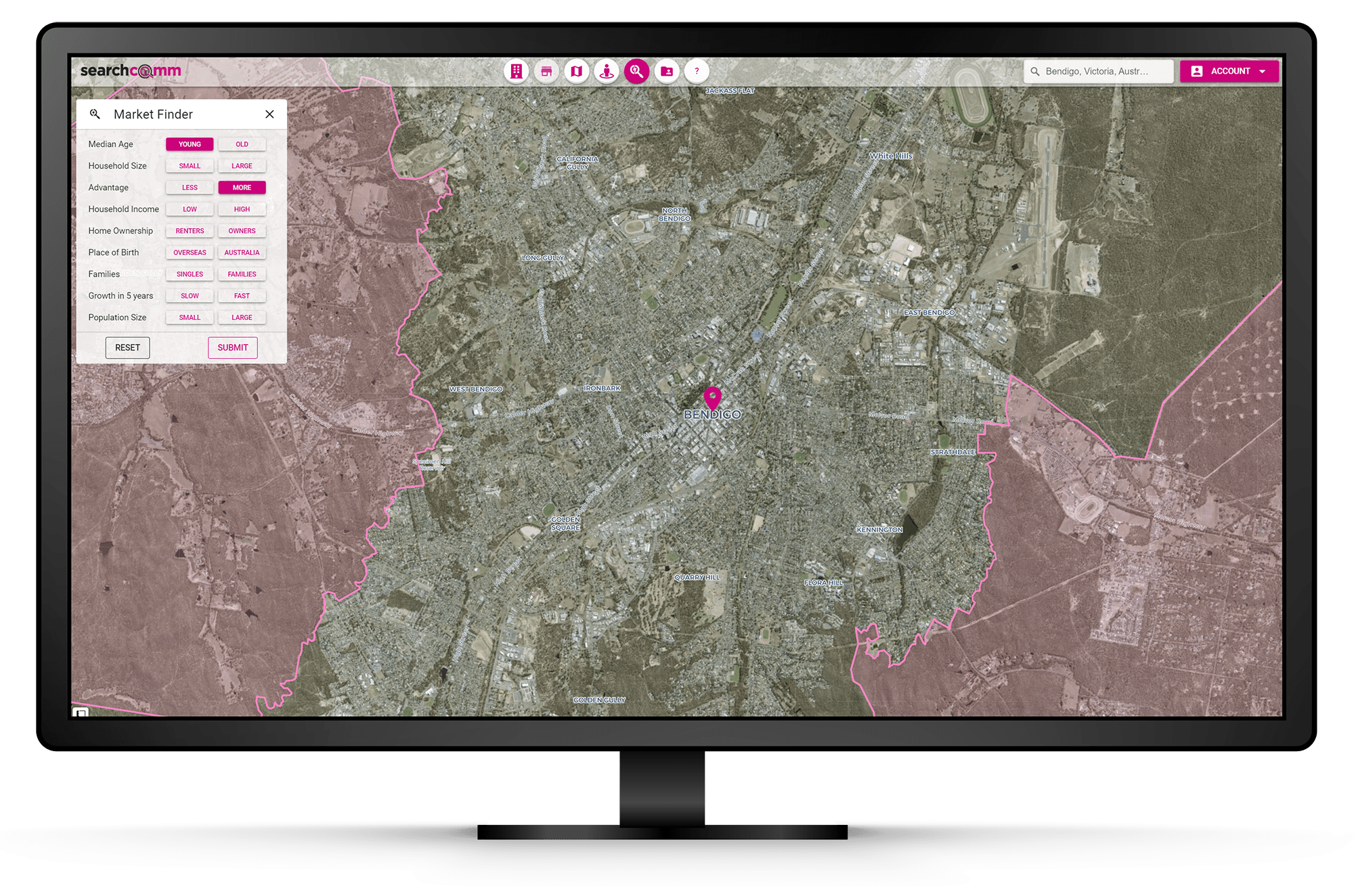
Market Finder
Target locations that suit your specific criteria. You can even search multiple criteria at once nation-wide.
Customised
Customise your mapping experience. Save search parameters and favourite sites, mark locations, create and edit layers.
Help
Our local team are here to help you get the most from the application. Just call and ask!
Measurement Tools
Measure the distance between two or more points, the perimeter and area of each site.
Subscribe now from just $70 per month
New User? Create an Account to get started.
Make a SearchComm Appointment
Thanks for joining Search Commercial!
An email will be sent to you shortly with your log in details.


