What are the advantages of high-resolution aerial imagery?
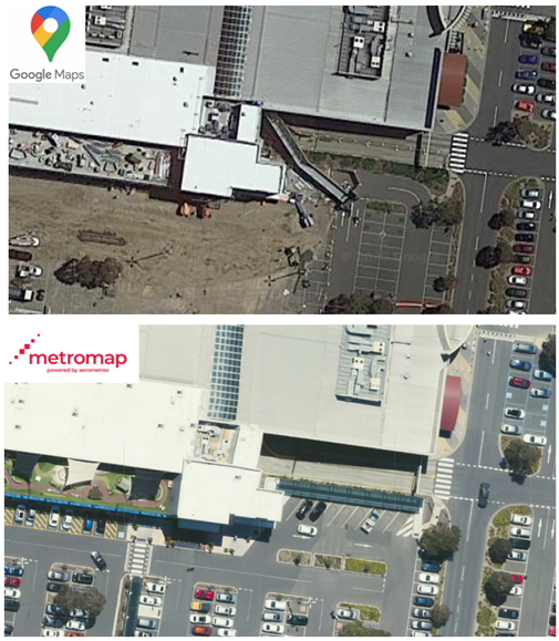
MetroMap Aerial Imagery and free platforms such as Google Maps both offer a view of the ground and its features, objects from above. They can both be used for a range of applications wherein geospatial data is required. Unlike Google Maps (who take satellite photos once every 2-3 years) MetroMap capture high-resolution aerial imagery, which […]
The 2,000 markets explained
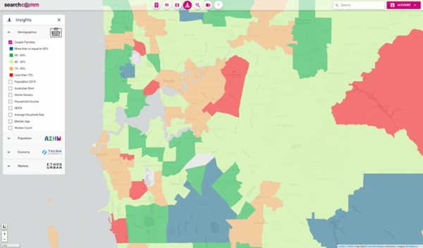
Working with our data partners and other data sources, Search Commercial provide extensive hot spot analysis opportunities by searching across Australia to identify markets, key growth, demographic and socio-economic advantages. Our Insights and Market Finder databases For example data from the 2016 Census of Population and Housing is available at SA2 level. The SA2 is […]
How do I arrange a demonstration and how long does it take?
A demonstration can be arranged via our website www.searchcommercial.com.au or email [email protected] It is completed virtually by one of the team and takes approximately 30 minutes to complete.
SearchComm Property Report: What is included and how to access them
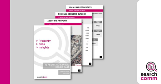
Being armed with location data gives you a head start in understanding your demographic, catchment size, property market activity and outlook. Our aim is to assist you by providing a range of key property information and data in one convenient report. The SearchComm Property Reports are generated in just a few minutes. They comprise some […]
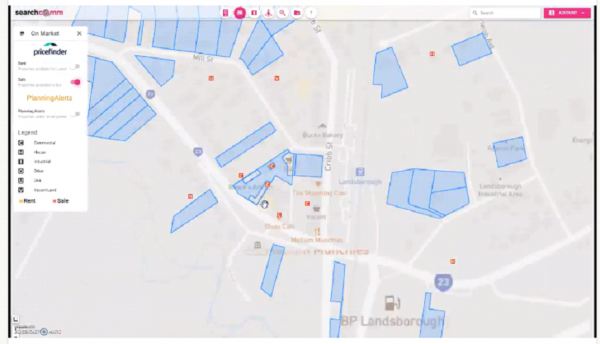
Property Filters 101: How to find sites
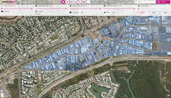
Search Commercial is an affordable application providing you with access to comprehensive land selection tools. The Site Finder tool allows you to search and filter properties nation-wide our detailed criteria. The focus of the tool is commercial properties and those with development potential. This means if you are searching for a residential site in a […]